Climate
The climate presents transitional characteristics between the oceanic regimes of Atlantic Europe and the continental ones of the Russian plain. Overall, however, the temperate oceanic influence is still noticeable in winter, so that climates are milder than latitude (between 47 ° and 55 ° N) might suggest. The modest elevation of the reliefs, except on the southern side, exposes the territory to multiple influences, which means that the weather conditions are subject to frequent variations. During the summer, temperatures regularly decrease from S to N, from 20 ° C in Munich to 17 ° C in Hamburg. In winter, the influences of the Atlantic (mitigator) and the Russian-Siberian anticyclone (extremely rigid) cause temperatures to decrease from W to E. The two influences are deeply felt as regards the rainfall which, proceeding from W to East, shows a decrease in the average annual quantity and a reversal of the regime. However, these are quantities that remain above 700 mm and only exceptionally fall below 600 mm per year in some sections of the Mittelgebirge. The peaks are reached in the upper parts of the Harz and the Ore Mountains, up to over 2000 mm in the Black Forest. The winter snow cover is not particularly thick, but, given the average temperatures normally below 0 ° C (albeit slightly), the stay on the ground lasts a couple of months (with a maximum of four). Overall, six climatic regions can be distinguished: two on the sea, three in the central area and one in S. Along the coasts of the North Sea, conditions are milder and rainier than in the Baltic.
Hydrography
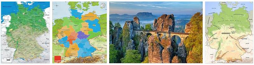
The territory of Germany has a general slope towards N and therefore its surface waters belong mainly to the North Sea and to a lesser extent to the Baltic. The exception is the region between the Alps and the Jura, drained by the Danube, which after almost 650 km leaves Germany in Passau. The Rhine also has an Alpine origin, which at the exit from Lake Constance (Switzerland) marks the border first with Switzerland and then with France; the completely German section begins at the exit from the so-called Fossa Renana, between the Black Forest and the Vosges, near Karlsruhe. Crossed the Renano Schistoso Massif, with a tortuous and sometimes encased path between looming banks, beyond Duisburg the river enters the lower terminal plain, continuing, after more than 850 km, in Dutch territory. It is the major economic axis of the country, one of the busiest waterways in the world; a favorable element is constituted by the regime, to which the rains and the melting of the snow guarantee a conspicuous flow rate, with rather limited fluctuations. Elba originates from the Monti dei Giganti and goes around them to the South, entering Germany in the depression that separates them from the Ore Mountains; it covers about 700 km on German territory and flows into the North Sea with a large estuary. The only major river that heads to the Baltic is the Oder, which is German only limited to the left bank for the last 200 km (in this stretch it marks the border with Poland).
The largest lake area is the German part of Lake Constance, which is 305 km 2wide. In the Eifel there are rounded lake mirrors, occupying ancient explosion craters (Maar), while some lakes are housed in the intermorenic basins of the lowland. Overall, the lakes are numerous but small in surface, both in the central-southern reliefs and in the moraine hills of the lowland, towards the sea coasts.
Of enormous importance is the artificial hydrography, that is the complex of canals thanks to which the Germany enjoys one of the most organized network of inland waterways in the world. Some canals run parallel to rivers, others run in a transverse direction. Chief among these is the Mittellandkanal , which runs on the border between the Mittelgebirge and the Lowlands. The Rhine-Main-Danube canal (Rhein-Main-Donau-Kanal), 677 km long with large stretches of canalized river, is part of a waterway system that connects the North Sea with the Black Sea.
Flora and fauna
In the Alps, the flora does not differ too much from that of the southern slopes, with spruce and white fir, which downwards gives way to beech, while upwards it passes to stone pine, larch and finally to high altitude pastures (the limit of the woods is at about 1700 m in the Alps, at 1300 in the Šumava and at 1000 in the Harz). From the Black Forest (Schwarzwald) to the Bohemian Forest (Böhmerwald) predominates the silver fir. In the lowlands and coastal areas, birches are mixed with Scots pine. The undergrowth consists of northern species such as holly and heather. The southern valleys, up to the Rhine-Moselle confluence, have mild enough climates to allow the presence of Atlantic-Mediterranean flora (man took advantage of this characteristic by developing the cultivation of the vine).
The situation of wildlife is negative: in historical times the last bears, bison, ibex and lynx have disappeared; endangered are wild cats and moose among mammals, eagles and vultures among birds; wolves are also considered endangered. However, the birds are numerous, with many migratory species (waders, gallinaceous, palmipeds). Among the Mammals there are still cervids, otters and ermines.